COMPANY MANAGEMENT
General Director:
Prof. univ. dr. ing. Cornel Paunescu
Phone. +40722.209.287
Phone. +40722.209.287
Email: cornel.paunescu@topoexim.ro
Technical Director:
Ing. Dragos Necula
Phone. +40723.887.306
Phone. +40723.887.306
Email: dragos.necula@topoexim.ro
Administrative Director:
Ec. Alexandru Cuculescu
Phone. +0212.204.002
Phone. +0212.204.002
Email: administrativ@topoexim.ro
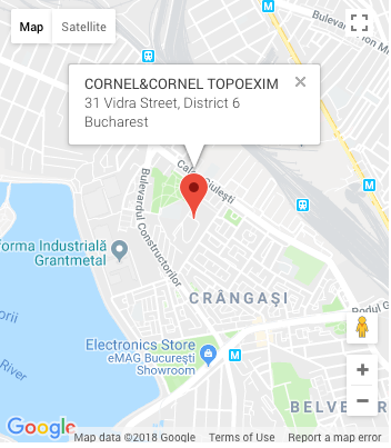
HEADQUARTER
Bucharest
31 Vidra Street, District 6
PHONE
SOCIAL NETWORKS