CARTOGRAPHY – GIS
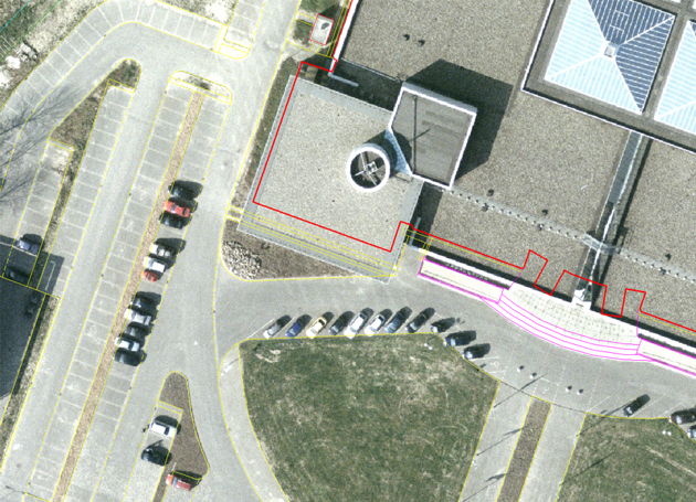
Cartography - GIS involves the computerized modelling of the geographic projections of the Earth and is based on the use of various computing techniques for collecting, storing, analyzing and displaying geographic data of the land surface in the form of graphical and numerical reports.
The Geographic Information System (GIS) integrates various types of data, analyzes spatial location, and visually organizes layers of information through maps and 3D scenes. With GIS, the users can analyze topographic, environmental, demographic and land use of data to facilitate business decision-making and project management.
Due to its unique capabilities, GIS technology provides an exhaustive perspective on data and helps users make swift decisions regardless the industry they operate: resource management, logistics, planning, transport, topography, demographic studies, epidemiology and the environment.
The portfolio includes cartography-GIS services and solutions that meet the stringent need to efficiently manage spatial data and also the development needs of private organizations or public authorities, as follows:
- Creation of large scale topographic maps
- Development of thematic maps (demographic, social, economic, forecasts, etc.)
- Georeferencing and vectorization of old maps
- Geospatial data acquisition (GIS)
- Development of GIS applications
- Implementation of personalized applications in various fields: environment, petroleum industry, transport, aviation, cadastre, historical monuments, etc.
- Development and updating of geospatial databases
- Digitization of plans and maps
- GIS consultancy
Over the years, Topoexim team has developed, with the help of latest software, dedicated applications for:
- Utility: supply of utilities
- Transport industry: transport planning
- Property: land use, change detection, land use cover changes, regional planning, land management
- Agriculture
- Managing and limiting the consequences of disasters (flood risk, estimation of flood damage)
- Environment, petroleum and aviation industry

