PROJECT
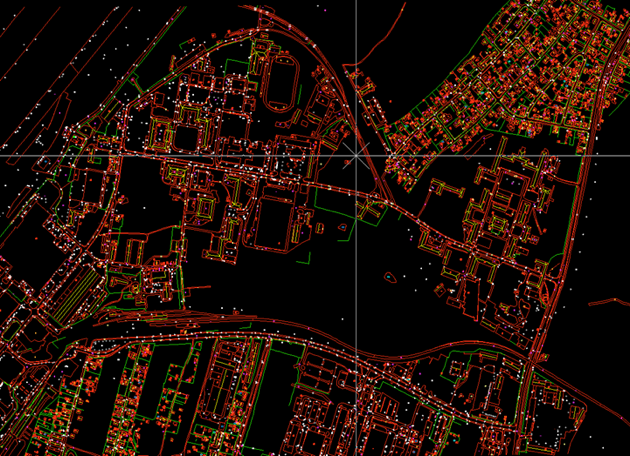
Realizing digital maps - vector topographic and mosaic orthophoto plan
PROJECT NAME:
Realizing an accurate/a high resolution orthophotoplan
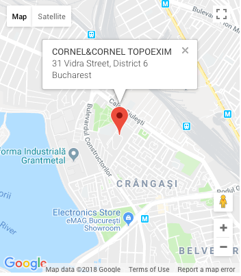
BENEFICIARY:
ENGIE
NEED:
Inspecting the energy network and creating a complex map of a geographic informational system
MAIN DELIVERABLES:
- Establishing the perimeter, realizing the photogrammetric flights (drones/airplane)
- Building the photogrammetric block
- Georeferencing maps and assign coordinates
- Obtaining the final orthophotoplan, at different scales, in digital or printed format in format digital
- Digital orthophotoplan
- Digital Surface Model
- Digital Terrain Model
- Vector topographic plan
CUSTOMER BENEFITS:
- Quick and accurate purchase of air data for large or hard-to-reach areas to the human operator
- Advances analysis capabilities of the plan
- Time savings and low costs compared to traditional methods